The Meltemi Wind: Which Greek Islands and Beaches Stay Calm in Summer
Last updated: October 2026
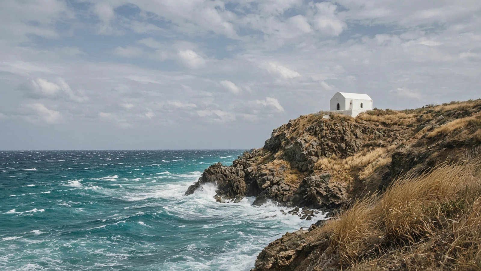
The meltemi is the strong, dry north wind of the Aegean summer. It’s at its strongest in July and August, it’s worst in the central Aegean and its straits, and it mostly spares the Ionian islands. On a meltemi day, swim on a south-facing bay, take the big ferry rather than the catamaran, and save boat trips for the morning.
Almost every summer visitor to the Cyclades meets the meltemi. Some love it, because it keeps the heat down and the air sparkling. Others lose a beach day to blowing sand or a boat trip to a cancellation. This guide explains when it blows, how strong it gets, which islands and coasts stay calmer, and what it means for ferries. If you’re still choosing dates, see our June and September guides, the months either side of the windiest weeks.
Before you travel: fares and schedules change often, and the prices and times on this page may be out of date. Always confirm current prices and times with the operator, or locally at the port or bus station, before you travel.
Quick answer
When: strongest from mid-June to early September, peaking in July and August (meteo.gr).
How strong: usually 6–7 Beaufort, sometimes 8–9 in the central Aegean; strongest from late morning to late afternoon, weaker at night.
Calmer places: the Ionian islands (Corfu, Kefalonia, Zakynthos); within the Aegean, south- and south-west-facing bays and enclosed harbours.
Windiest: the central Cyclades and the straits between islands, such as Kea–Kythnos, Paros–Naxos and the Kafireas strait off Andros.
Ferries: fast boats are cancelled first; big conventional ferries usually keep sailing. There is no single Beaufort cut-off.
What the meltemi is
The meltemi (Greek meltemia, also called the etesian winds, from the Greek for ‘annual’) is a seasonal wind. According to meteo.gr, the weather service of the National Observatory of Athens, it comes from the combination of high pressure over the Balkans (or western Europe) and low pressure over the south-eastern Mediterranean. It brings clear skies, low humidity and almost no rain.
Its direction changes as it bends around the mountains: north-easterly in the north Aegean, northerly in the central Aegean, and north-westerly in the Dodecanese. That matters, because it decides which side of an island is sheltered.
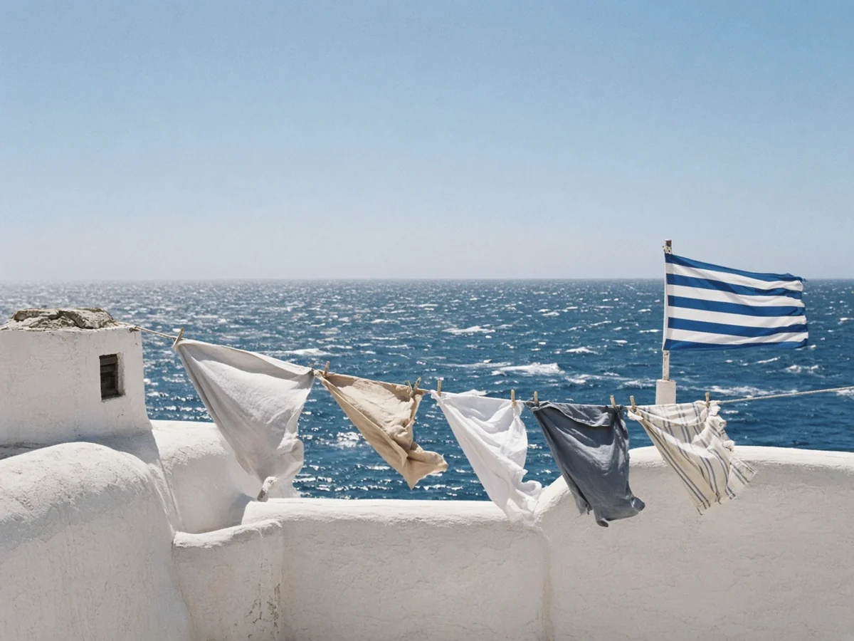
When it blows and how strong it gets
| What to expect | Source | |
|---|---|---|
| Season | Strongest from mid-June to early September; can blow on and off from May to October | meteo.gr; season edges are typical rather than fixed |
| Peak months | July and August | meteo.gr; HNMS Naxos wind figures |
| Typical strength | 6–7 Beaufort (about 39–61 km/h) | meteo.gr; HNMS Beaufort scale |
| Strongest days | 8–9 Beaufort in the central Aegean (about 62–88 km/h) | meteo.gr; HNMS Beaufort scale |
| Time of day | Builds through the morning, strongest midday to late afternoon, weaker in the evening and at night | meteo.gr |
| Spells | Often blows for a few days at a time, then eases | Typical pattern; length varies |
Long-term HNMS figures for Naxos show mean wind strength rising clearly in July and August compared with May and June. Calm days still happen in high summer, and some summers are much windier than others.
Where it hits hardest
The meltemi is strongest in the central and southern Aegean, which means the Cyclades take the brunt. A meteo.gr sailing guide notes that in straits between islands, such as Kea–Kythnos, Paros–Naxos and Cavo Doro (the Kafireas strait between Andros and Evia), the wind accelerates by roughly 25–40% compared with open water, with short, steep waves. It also warns that high islands such as Amorgos, Tinos and Andros send violent gusts down their slopes, even on the ‘sheltered’ side.
- Most exposed: Mykonos, Tinos, Andros, Naxos and Paros (especially the channel between them), Amorgos, and the north coasts of almost every Cycladic island.
- Exposed routes: Rafina–Andros–Tinos–Mykonos through the Kafireas strait, and fast-boat links across the central Cyclades.
- Dodecanese: the wind is north-westerly there; Kos and Rhodes are widely known for windy west and north-west coasts (good for windsurfers), with calmer east coasts.
Which islands stay calmer
| Area | How the meltemi affects it | Good for |
|---|---|---|
| Ionian islands (Corfu, Kefalonia, Zakynthos, Lefkada) | Largely outside the meltemi; usually a lighter afternoon sea breeze instead | Calm-sea family holidays, nervous sailors |
| Crete, south coast | In the lee of the island when the wind is north; mountain gusts possible | Swimming on north-wind days; harder to reach |
| Milos, south coast | South-facing bays in the lee of the island | Beach days when the north coast is rough |
| Naxos, south-west coast | Long beaches with land behind them on the windward side | Swimming, though it can still be gusty |
| Paros, Naoussa Bay and west coast coves | Enclosed bay and west-facing coves | Families, swimming |
| Mykonos, south coast | South-facing beaches sheltered by the island | Swimming; north beaches are rough |
Sources: meteo.gr (direction and strength); beachesofgreece.com wind-sheltered beach guide (July 2026); calmbeach.gr exposure model for Naxos and Milos. Shelter reverses when the wind turns southerly.
For an August holiday where calm sea matters most, the Ionian is the safest bet: see our Corfu, Kefalonia and Zakynthos guides. In the Cyclades, bigger islands with coastline facing several directions, such as Naxos and Milos, let you follow the calm side. Or read our Cyclades vs Ionian islands comparison.
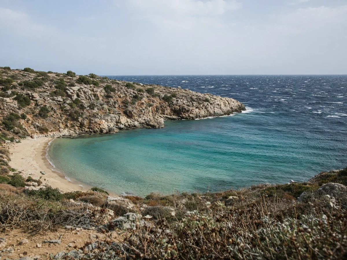
Calmer beaches by island on a meltemi day
These beaches are recorded as sheltered from the prevailing north wind by the Beaches of Greece and CalmBeach guides. They’re a starting point, not a guarantee: on the rare days the wind turns south, the shelter flips.
| Island | Calmer on north-wind days | Usually rough on north-wind days |
|---|---|---|
| Milos | Firiplaka, Paleochori, Provatas, Papikinou (inside Adamas bay); Kleftiko by boat | North coast, including Sarakiniko |
| Naxos | Agios Prokopios, Agia Anna, Plaka, Alyko, Agiassos; Kalantos in the far south | North and east coasts |
| Paros | Monastiri and other coves in Naoussa Bay; Agia Irini (west coast) | Exposed beaches facing north and east |
| Mykonos | Agrari and other south-coast beaches | North-coast beaches |
Sources: beachesofgreece.com (updated July 2026); calmbeach.gr Naxos page (29 Oct 2026). The exposed column is a general rule, not a beach-by-beach survey.
Two rules of thumb: a beach with land between it and the north is usually better, and an enclosed bay beats an open one. Wind and sand can still be unpleasant on a sheltered beach if the gusts come down from the hills.
How the meltemi affects ferries
There’s no Greece-wide rule that ferries stop at a fixed number of Beaufort. The local port authority, part of the Hellenic Coast Guard, suspends departures under Presidential Decree 852/1976 and its navigation-safety manual, depending on the vessel, the route, the wind direction and the waves. Figures the shipping ministry gave to parliament, reported by e-nautilia.gr, show the general criteria for conventional passenger ferries:
| Conventional ferry length | Departures generally suspended from |
|---|---|
| Up to 25 m | 6 Beaufort |
| 25–40 m | 7 Beaufort |
| 40–75 m | 8 Beaufort |
| Over 75 m | 9 Beaufort |
Source: e-nautilia.gr, citing the Ministry of Maritime Affairs and the EAN-9 navigation-safety manual. High-speed craft are judged mainly by significant wave height in their operating licence, so they can be stopped in less wind.
- Fast catamarans and small boats are cancelled first, sometimes at 6–7 Beaufort.
- Big conventional ferries often keep sailing, but may run late, skip a port where docking is unsafe, or arrive at a different time.
- Afternoon and evening sailings on windy days are more likely to be affected than early morning ones.
- Seasickness: on a windy day, a big ship is more comfortable than a fast boat. Sit low and in the middle, look at the horizon and get fresh air.
If your ferry is cancelled, the operator should offer another sailing or a refund; our guide to ferry strikes, delays and cancellations is coming soon. For the basics of booking and ports, see Greek island ferries for beginners.

Boat trips, swimming and water sports
- Book boat trips flexibly. Day cruises around Milos, the Small Cyclades or Santorini’s caldera are often rerouted or cancelled when the wind is up. Book early in your stay so you can move the date.
- Go in the morning. The wind is usually lighter early.
- Respect the flags and the sea. Strong wind brings waves and currents on exposed beaches, and inflatables can be blown offshore fast.
- Windsurfers and kitesurfers love the meltemi; their favourite beaches are exactly the ones swimmers should avoid on windy days.
How to read the forecast
- Use official sources: meteo.gr and the Hellenic National Meteorological Service (HNMS) both publish Beaufort forecasts for the Aegean sea areas.
- Look at the time of day as well as the number: 7 Beaufort at 15:00 may be 4 at 08:00.
- Check gusts and direction, not just the average. North means south-facing beaches; north-west in the Dodecanese means the east side.
- For ferries, check the operator’s site or app and your booking email on the day; the port authority’s decision is what counts.
| Beaufort | Wind | At sea | What it means for you |
|---|---|---|---|
| 4 | Moderate, 20–28 km/h | Small waves, frequent white horses | Fine for ferries and most beaches |
| 5 | Fresh, 29–38 km/h | Moderate waves, many white horses | Exposed beaches choppy; small boats bumpy |
| 6 | Strong, 39–49 km/h | Large waves begin to form | Fast boats at risk; exposed beaches unpleasant |
| 7 | Near gale, 50–61 km/h | Sea heaps up | Many fast boats cancelled; big ferries usually sail |
| 8 | Gale, 62–74 km/h | Moderately high waves | Many sailings suspended; boat trips off |
Wind speeds and sea descriptions: HNMS Beaufort scale. The last column is our practical summary.
How to plan around the meltemi
- Pick a base with choices: an island with beaches on several sides, so you can follow the calm.
- Don’t plan tight connections. In July and August, allow a spare day before an international flight.
- Prefer big ferries on windy days, or book flexible tickets on fast boats.
- Island-hop with the wind. Sailors in the Cyclades plan southbound legs in high summer, because heading north into the meltemi is slow and rough; the same logic makes southbound ferry days a little gentler.
- Choose your month. If the wind worries you, June and September are usually calmer. Our guide to the Western Cyclades route has more on timing a trip around ferries.
Frequently asked questions
When does the meltemi blow in Greece?
It is strongest from mid-June to early September, according to meteo.gr, and usually peaks in July and August. It can still blow on some days in May and October.
How strong is the meltemi?
Usually 6 to 7 Beaufort, about 39 to 61 km/h, and sometimes 8 to 9 Beaufort in the central Aegean. It is strongest from midday to late afternoon and often eases at night.
Which Greek islands are not affected by the meltemi?
The Ionian islands, such as Corfu, Kefalonia, Zakynthos and Lefkada, are largely outside its reach. In the Aegean, every island gets it, but south-facing coasts are sheltered from the north wind.
Does the meltemi cancel ferries?
Sometimes. Fast boats and small craft are cancelled first. Large conventional ferries usually keep sailing, though they may run late. The port authority decides by vessel size, type and route; there’s no single Beaufort cut-off.
Where should I swim when the meltemi is blowing?
On a beach facing south or inside an enclosed bay. Examples include Firiplaka and Paleochori on Milos, Agios Prokopios and Plaka on Naxos, and the coves of Naoussa Bay on Paros.
Is the meltemi dangerous?
Not on land, but it makes exposed beaches rough, can push inflatables and swimmers offshore, and fans wildfires. Follow beach flags and fire warnings, and don’t take small boats out in strong wind.
Sources and useful links
- meteo.gr Meteopedia: seasonal winds (meltemi), in Greek
- meteo.gr MeteoNav: sailing in the Cyclades meltemi, in Greek
- HNMS: Beaufort scale
- e-nautilia.gr: how sailing bans work, in Greek
- Beaches of Greece: wind-sheltered beaches
- CalmBeach: sheltered beaches in Naxos
- CalmBeach: sheltered beaches in Milos
Wind changes daily and no beach or route is calm every day. This independent guide is for planning; check an official forecast, local flags and your ferry operator before you go.