The Best Greek Islands for Hiking
Last updated: November 2026
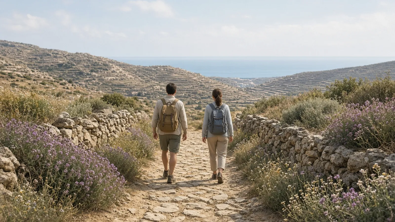
Short version: for a proper walking holiday, Andros has the best-maintained path network in the Aegean, Amorgos has the most dramatic paths, Naxos has the most variety, and Sifnos has the best mix of walking, villages and food. Crete has the big gorges and mountains, though its most famous gorge is closed for now. Walk in spring or autumn, not in August.
Most Greek islands have old mule paths between villages, but on many they are overgrown, unmarked or cut by new roads. This list is about islands where the paths are signed, mapped and walkable, so you can plan real days on foot. We say where a trail is hard, and where the bus at the end matters. If you only want one easy walk, start with the Paros marble path or Fira to Oia on Santorini.
Before you travel: fares, schedules, opening hours, tax rates and seasonal rules change often, and the details on this page may be out of date. Always confirm current prices, times and rules with the operator or the official site, or locally, before you travel.
Quick answer
| Island | Best for | Signature walk | Network |
|---|---|---|---|
| Andros | Multi-day walking; green valleys and streams | Stages of the 100 km Andros Route | About 240 km waymarked; European quality certification since 2015 |
| Amorgos | Dramatic cliffs and monastery views | The Old Strata, Chora to Langada (14.5 km, hard) | Seven main marked paths |
| Naxos | Variety: mountain, marble villages, Venetian towers | Mount Zas (1,003 m), the highest summit in the Cyclades | Numbered trails around the central villages |
| Sifnos | Short day walks between villages and beaches; great food | Kastro to Chrysopigi (5.8 km) | Numbered trails; about 200 km of footpaths |
| Crete | Gorges and high mountains | South-coast gorges (Samaria closed for now) | Huge; the long-distance E4 crosses the island |
| Santorini | One famous caldera walk | Fira to Oia (about 10 km) | Limited beyond the caldera path |
Distances from Andros Routes, amorgos.gr, naxos.gr, sifnostrails.com and sifnos.gr (checked Oct 2026, links re-checked 12 Nov 2026).
Andros: the best-kept trail network
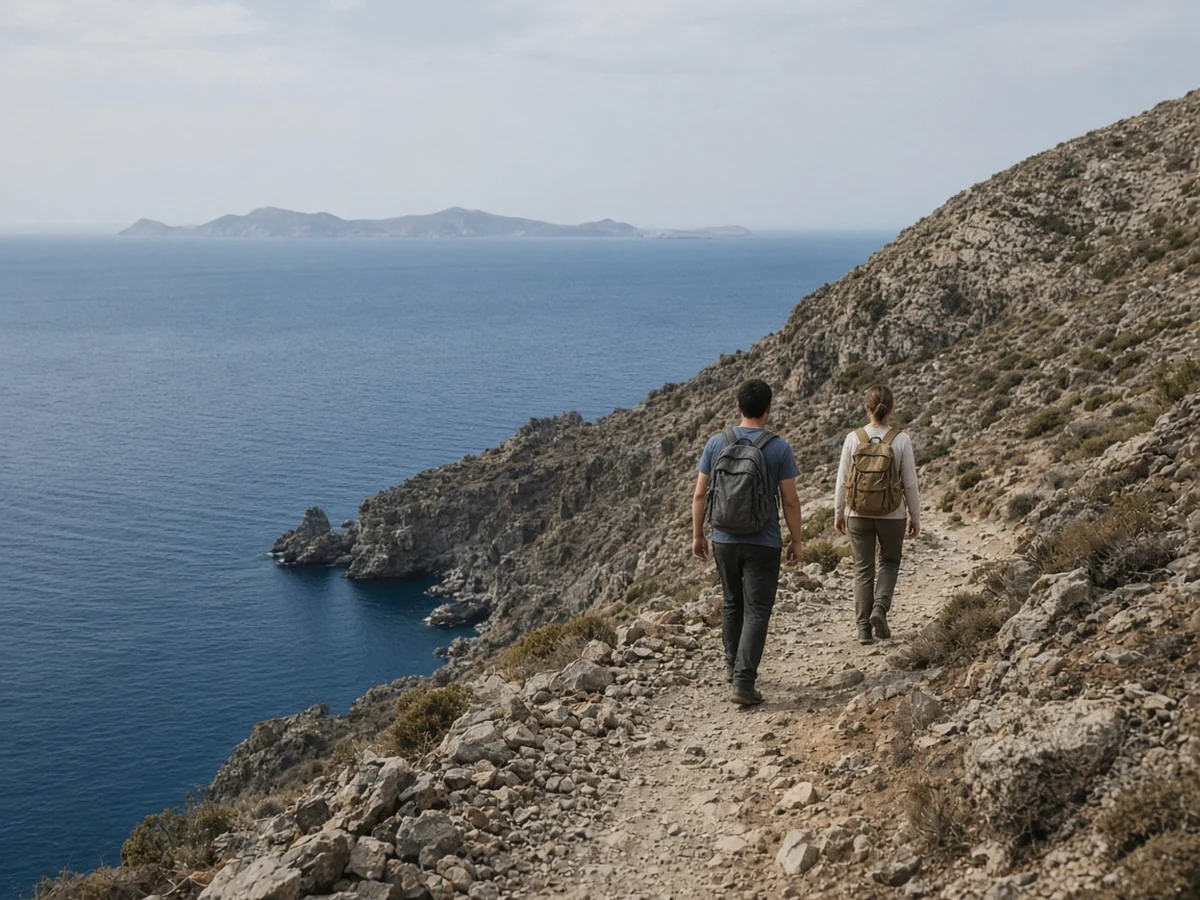
Andros, the northernmost of the Cyclades, is the green one: springs, plane trees, streams and terraced valleys, which keeps it walkable for longer into the warm season than the bare islands further south. Volunteers from the Andros Routes project have restored and signposted about 240 km of paths. The 100 km Andros Route, which runs the length of the island, was first certified as a Leading Quality Trail – Best of Europe by the European Ramblers’ Association in 2015.
The Route is split into day stages of roughly 7 to 15 km, so you can do one or two as day walks or link them into a week, staying in villages along the way. The certification is renewed every three years: ERA’s list showed it valid to the end of 2025, and Andros Routes reported that inspectors walked the route in February 2026 for the renewal.
Honest downsides: Andros is reached from Rafina, not Piraeus, and it is less set up for visitors than the central Cyclades. You will need buses, taxis or a car to reach trailheads, and the north-facing coast can be wild. Check current fares/times with Fast Ferries and Golden Star Ferries; our Andros guide covers where to stay.
Amorgos: the most dramatic paths
Amorgos is long, thin and mountainous, with cliffs dropping straight into the sea. Its main paths are marked and numbered on the island’s official tourism site. The classic is Path 1, the Old Strata: from Chora past the cliff-hung Monastery of Hozoviotissa, through Asfondilitis and Potamos to Langada in the north. The official figures are 14.5 km and about 4 to 5 hours, graded hard, with loose stones and no villages in the middle section.
| Path | Route | Time (official) | Level |
|---|---|---|---|
| 1 Old Strata | Chora – Hozoviotissa – Asfondilitis – Potamos – Langada | 4-5 h | Hard |
| 2 Fotodotis | Chora – Milies – Katapola | About 1 h (downhill) | Easy |
| 3 Itonia | Lefkes – Kamari – ancient Arkesini – Arkesini | About 3 h | Difficult |
| 4 Melania | Aegiali – Langada – Tholaria | About 2 h | Easy to moderate |
| 5 Pan | Langada – Agios Ioannis Theologos – Krikelos | 2-2.5 h | Difficult |
Routes and times from amorgos.gr. Levels for paths 3 and 5 from a local path guide; confirm before you go.
Check locally: these fares, times and dates may be out of date. Confirm them with the operator or the official site, or locally, before you travel.
The official site advises walking in pairs, carrying a phone and telling someone your plan. Aegiali and the northern villages of Langada and Tholaria are the natural walking bases; see our Amorgos travel guide.
Naxos: the most variety
Naxos is the biggest and most mountainous of the Cyclades, and its interior is a world away from the beaches: marble villages, olive groves, Byzantine chapels and Venetian tower houses. The headline walk is Mount Zas, at 1,003 m the highest point in the Cyclades. The short route from the chapel of Agia Marina is about 3 km with roughly 400 m of climb; the official circular route from Filoti is about 9 km and graded very difficult. Our Mount Zas hike guide has the detail.
Gentler walks link the Tragea villages around Halki and Filoti, which are on the KTEL Naxos bus line from Naxos town, making Naxos one of the easiest islands to walk without a car. See Naxos mountain villages.
Sifnos: walking with the best food
Sifnos has about 200 km of footpaths and a set of numbered trails described by Sifnos Trails and the municipality, most between 5 and 9 km. Popular picks are the walk from the clifftop village of Kastro to the monastery of Chrysopigi (5.8 km) and the route between the old capitals (8.6 km). Most trails start and end near a bus stop, and the island’s cooking makes the lunch stop part of the point. It fits naturally with Serifos and Milos; see our Sifnos guide and western Cyclades island hopping.
Crete: gorges and mountains
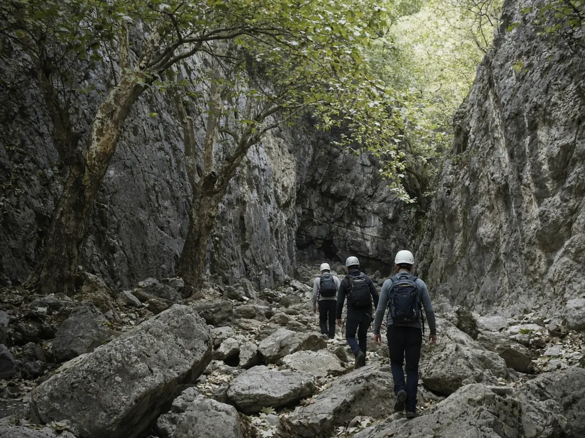
Crete is on a different scale, with mountains over 2,400 m, dozens of gorges and the European long-distance E4 path crossing the island. The most famous walk, the Samaria Gorge, has been closed since 1 October 2026 after storms damaged the path, and the official ticket site lists the park closed for the off-season until 9 April 2027. No 2027 reopening date had been confirmed when we checked; see our Samaria Gorge guide for the latest.
Crete suits experienced walkers with a car or a guide; distances and summer heat are serious. Our Crete travel guide and Crete by bus cover getting to trailheads.
Other islands worth a walk
- Santorini: the caldera path from Fira to Oia, with a detour around the Skaros rock. Walk it early: there is little shade. See Fira to Oia hike.
- Paros: an old marble-paved path links the hill village of Lefkes with Prodromos, an easy walk you can do between buses. See our Paros travel guide.
- Folegandros, Serifos and Tinos also have well-used paths between villages; quieter, with fewer resources for walkers. See Folegandros, Serifos and Tinos.
When to go
| Months | Walking conditions |
|---|---|
| April to early June | Best overall: green hills, wildflowers, long days. Orthodox Easter 2027 is on 2 May, a busy week |
| July and August | Too hot for long walks in the middle of the day; start at dawn and stop by late morning. Strong meltemi winds |
| Late September to early November | Very good: cooler, and the sea is still warm enough for a swim after a walk |
| Winter | Possible on Crete, Naxos and Andros, but short days, rain and fewer buses |
Sifnos Trails advises avoiding walks between noon and 4 pm in July and August. That is good advice on every island. See April, May and October for what else is open.
Practical tips
- Carry more water than you think, and food. Springs on maps can be dry.
- Wear proper shoes. Old paths are stony and slippery; trainers with grip are the minimum.
- Check the last bus before you set out, and save a local taxi number.
- Tell someone your route, and walk in pairs on remote paths. The European emergency number 112 works in Greece.
- Download the track where the trail site offers one; mobile signal can be patchy.
- Respect the land. Close gates, stay on the path through fields and do not pick from orchards.
Want to avoid driving? Greek islands without a car covers buses on the main islands.
Frequently asked questions
Which Greek island is best for hiking?
Andros has the best-maintained network, with about 240 km of waymarked paths and a 100 km route first certified as a Leading Quality Trail in 2015. Amorgos and Naxos are close behind.
When is the best time to hike in the Greek islands?
April to early June and late September to early November. July and August are too hot for long walks in the middle of the day.
Is the Old Strata on Amorgos difficult?
Yes. The official site grades it hard: 14.5 km and about 4 to 5 hours, with loose stones and no villages along the middle section.
Can you hike Mount Zas on Naxos?
Yes. The short route from Agia Marina is about 3 km with roughly 400 m of climb; the longer circuit from Filoti is about 9 km and much harder.
Is the Samaria Gorge open?
No. It has been closed since 1 October 2026 after storm damage, and the official ticket site lists the park closed for the off-season until 9 April 2027. Check before you plan.
Do I need a guide to hike on the Greek islands?
Not on marked island trails such as those on Andros, Amorgos, Naxos and Sifnos. A guide is worth it for remote mountain routes on Crete.
Sources and useful links
- Andros Routes: the Andros Route
- Andros Routes: 2026 re-certification inspection
- European Ramblers Association: Leading Quality Trails
- Amorgos: walking paths (official)
- Sifnos Trails
- Samaria National Park: official tickets and status
Trail conditions, waymarking, bus times and ferry timetables change. Distances and walking times come from the official trail sources listed; we have not quoted fares or bus times, so check current fares/times before you set out.